'Indian Occupied Kashmir' trended on Twitter on Saturday night as the gaffe in the booklet released by senior Congress lawmaker Ghulam Nabi Azad came to light. Attacking the party for the mistake, the BJP said it must have gladdened the heart of its "patrons in Pakistan".
On its part, the Congress party apologised for the "big mistake", and said it was a "printing error". It, however, claimed the BJP had released a similar map on its website but never admitted to the mistake.
"This is a printing error. This was our responsibility. We seek apology. Such mistakes will never be repeated. Unlike BJP, we are a party which can seek apology if there are any mistakes," Congress leader Ajay Maken said.

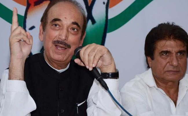
The booklet was released by Ghulam Nabi Azad, Congress in-charge of Uttar Pradesh, in the presence of Raj Babbar, the Congress state president.
"A Parliament resolution says even Pak-occupied Kashmir is part of India. By projecting Kashmir as Indian occupied Kashmir the Congress party has not only made separatists happy but also gladdened the heart of its patrons across the border. It is condemnable," he was quoted as saying by news agency PTI.
Targeting the BJP, Mr Maken said its website had on March 28, 2014 shown a similar map. He claimed a map which was released the same year in September during the signing of a treaty with China in the presence of Prime Minister Narendra Modi had shown Arunachal Pradesh as part of China.
On Twitter, supporters of the BJP clobbered the Congress for the gaffe.
Hey @INCIndia This is UNACCEPTABLE, a week ago ur leaders slaughtered a cow & now ur booklet say "INDIAN OCCUPIED KASHMIR"
- Sundeep Bhatera. (@bhasaby) June 3, 2017
U pay for this. pic.twitter.com/hvCVAR7CIB
Congress supporters meanwhile countered with their own tweets.Everyone is aware that Congress is corrupted, but now Kashmir is labeled as 'Indian Occupied Kashmir' in a book released by @INCIndia too pic.twitter.com/AN2BE3Am8E
- Neetu Garg (@NeetuGarg6) June 3, 2017
On May 30, 2017,BJP-PDP Govt of Jammu & Kashmir mentioned the state of Jammu and Kashmir as "Indian Occupied Kashmir" (Letter Attached) 4/n pic.twitter.com/GT0GE1UHRO
- Rachit Seth (@rachitseth) June 3, 2017
(With inputs from PTI)Shainaji unashamedly calls Indian Occupied Kashmir. What else can be expected from someone who looks upto British lapdog Savarkar as hero?
- Faiyaz Ahmed (@faiyazasm) June 3, 2017
Track Latest News Live on NDTV.com and get news updates from India and around the world

