Satellite pictures of forest fires show a huge spurt over last 24 hours.
- At least 200 locations in Uttarakhand have active fires, says ISRO
- Fires are raging in Jammu and Kashmir, Uttar Pradesh and Himachal Pradesh
- Overall, around 1,300 forest fires are raging across north India
Did our AI summary help?
Let us know.
New Delhi:
The forest fires in Uttarakhand have multiplied by nearly four times in the last 24 hours. According to an analysis by the National Remote Sensing Centre of ISRO, or, the Indian Science Research Organisation, in Hyderabad, there are at least 200 locations in Uttarakhand that have active fires.
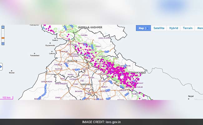
But the overall situation is far worse, since besides Uttarakhand, fires are raging in the entire northern hill region. In Jammu and Kashmir, Himachal Pradesh and Uttar Pradesh there are over 1,000 active fire locations that have been captured through satellite images.
Overall, around 1,300 fires are raging across north India.
In these satellite pictures released by ISRO at 2 pm today, each dot represents an active fire location.
 .
.
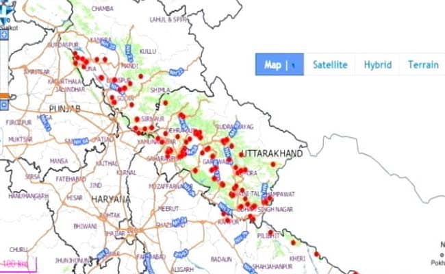
And this was how a satellite picture taken 24 hours ago looked.
 .
.
The views taken by the satellite over the region varies slightly every day, so comparing pictures visually is difficult.
In the fire over the last 88 days, nearly 3,000 acres of forest cover in Uttarakhand has taken a hit. Union minister Prakash Javadekar today said over the last one month, around 1,200 fires have broken out in Uttarakhand alone.
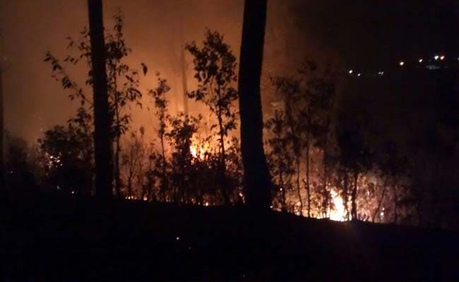
The smoke has been so thick that an Air Force team helping with the fire-fighting had to turn back this morning. The MI-17 choppers that were meant to spray water over the burning jungles faced zero visibility.
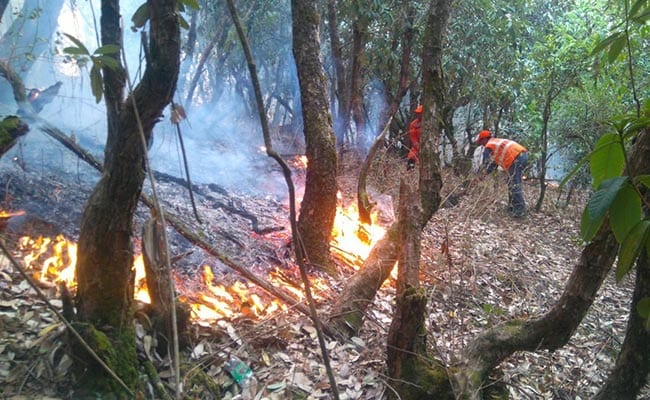
 So far, 6,000 firemen have been deployed to tackle the fires in the state, where it is raging through the districts of Pauri, Rudraprayag, Tehri, Uttarkashi, Almora, Pithoragarh and Nainital and Chamoli.
The government, the minister has said, is starting a satellite picture-based fire alarm system from today. It will send out text messages to the authorities every time a fresh fire is detected.
But the overall situation is far worse, since besides Uttarakhand, fires are raging in the entire northern hill region. In Jammu and Kashmir, Himachal Pradesh and Uttar Pradesh there are over 1,000 active fire locations that have been captured through satellite images.
Overall, around 1,300 fires are raging across north India.
In these satellite pictures released by ISRO at 2 pm today, each dot represents an active fire location.

And this was how a satellite picture taken 24 hours ago looked.

The views taken by the satellite over the region varies slightly every day, so comparing pictures visually is difficult.
In the fire over the last 88 days, nearly 3,000 acres of forest cover in Uttarakhand has taken a hit. Union minister Prakash Javadekar today said over the last one month, around 1,200 fires have broken out in Uttarakhand alone.
The smoke has been so thick that an Air Force team helping with the fire-fighting had to turn back this morning. The MI-17 choppers that were meant to spray water over the burning jungles faced zero visibility.

Three NDRF teams, comprising 135 personnel, sent to Almora, Gauchar and Pauri to control forest fires in Uttarakhand.
The government, the minister has said, is starting a satellite picture-based fire alarm system from today. It will send out text messages to the authorities every time a fresh fire is detected.

Since early February, 922 cases of forest fire incidents in the state have occurred killing five people.
Track Latest News Live on NDTV.com and get news updates from India and around the world

