





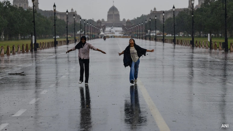
Every single year, the Indian subcontinent becomes the center stage for one of the most dramatic atmospheric phenomena: the Southwest monsoon. Spanning roughly 4 months from June to September, the rains that the season brings dictate not just agricultural fortunes, but also water security and economic stability across the region.
To understand what drives the spells, one must look at massive weather systems as well as macro-level drivers and localized synoptic features.
The Indian monsoon is facilitated by a variety of factors, one of which is the difference in temperature between the land and the sea. In late spring, intense heat creates a massive low-pressure area over Northern India, while the surrounding Indian Ocean stays cooler with higher pressure. Because air moves from high to low pressure, moisture-packed winds blow toward the land. As these winds cross the equator, Earth's rotation bends them toward the southwest, sweeping rain across the Arabian Sea and the Bay of Bengal.
Key Drivers of the Indian Monsoon
In India, there are many drivers of rain. From monsoon troughs to cyclonic circulations to internal dynamics, the spells are driven by a lot more than what meets the eye. The monsoon trough is a broad, elongated zone of low pressure extending from Northwest India to the Bay of Bengal. The position of this trough acts as the steering wheel for rainfall distribution.
Apart from this, the relationship between low-pressure areas and cyclonic areas also dictates spells. Atmospheric circulations that form over sea or land draw in vast amounts of moisture and induce heavy downpours. What must also be understood is that, contrary to popular belief, the monsoon does not always rely on external oceanic systems to produce rainfall.
Weather expert Navdeep Dahiya expands more on this idea. "Monsoon often sustains in India without external help. Monsoon axis and formation of cyclonic circulation in the Bay of Bengal is sufficient enough to generate fairly widespread clouds that lead to rains in north and east India." Dahiya also adds to say that we are presently situated in such synoptic conditions.
Anatomy of a Shift
When a strong weather system like a deep depression forms, it acts as an anchor, holding the monsoon trough in place. In late July and early August, central India experienced continued heavy showers because one of these persistent systems trapped the trough further south than usual.
Mahesh Palawat, Vice President of Meteorology and Climate Change at Skymet Weather, explains: "Earlier, the deep depression was over central parts of the country, and it weakened into a well-marked low-pressure area and gradually into a low-pressure area, moving across South Gujarat and parts of Rajasthan. The axis of monsoon trough was also in the central parts of the country. Whenever any strong weather system is persisting, it does not allow the axis of monsoon trough to move away. It holds the monsoon trough at its position, or you can say south of its normal position, wherever the deep depression or any strong weather system is persisting."
As the depression dissipated over western India, the anchor broke, allowing the rain-bearing axis to migrate north toward the Indo-Gangetic Plains.
The August Spell: Forecast and Formations
With the monsoon trough shifting north, weather activity across northern, eastern, and northeastern India has picked up significantly.
Palawat explains how earlier weather systems have weakened, causing the axis of the monsoon trough to move north over the Indo-Gangetic Plains where it interacts with mid-latitude airflow. Palawat adds, "There are multiple cyclonic circulations: a mid-latitude westerly trough (a summer Western Disturbance system) over the Western Himalayas, a cyclonic circulation over North Haryana, another cyclonic circulation over central parts of Uttar Pradesh, a cyclonic circulation over Bihar and Northeast India."
Speaking of the areas that will experience weather activities, Palawat lists, "Weather activities will remain confined to Northeast India, Bihar, Jharkhand, West Bengal, Odisha, Uttar Pradesh, Punjab, Haryana, parts of Delhi, and eastern parts of Madhya Pradesh and Chhattisgarh. We can say Indo-Gangetic Plains as well as East India, Northeast India, and eastern parts of Central India will continue to get good rains for another week or so."
What to expect in August?
As Palawat lists the regions, Dahiya delves into regional expectations for early August and how they align with synoptic shifts.
Dahiya emphasizes: "Monsoon axis is passing over plains of north India along with a cyclonic circulation to develop inland over Bundelkhand region by 7th August. East India and north-east India including Bihar, West Bengal, Jharkhand, Odisha, Assam, Meghalaya, Arunachal Pradesh will experience widespread heavy rains during 5th - 7th August and significant reduction thereafter. In north India, scattered moderate rains to slightly heavy rains will continue during 5-8th August in Punjab, Chandigarh, Haryana, Delhi NCR and Uttar Pradesh, however coverage of rains would not be that great. On 7th - 9th August heavy to very heavy rains will occur in east Rajasthan, North Madhya Pradesh and southwest Uttar Pradesh."
Approaching the Break: El Nino and Late August
According to experts, after a wet July, mid-August will head toward a "Break Monsoon". A break monsoon is described as a prolonged dry spell where the rain trough pushes to the Himalayan foothills, leaving central and southern India dry.
Mahesh Palawat points out that external climate drivers like El Nino will begin exerting their influence as the month progresses. "There could be break-like conditions post August 11 or 12. So, overall rain activities could start reducing after the second week of August. August seems to end slightly on a negative note, unlike July which had a rain surplus. El Nino's impact will be seen during the later part of August, and that's why August could end slightly on the lower side of rainfall", Palawat explains.
Agreeing with Palawat, Navdeep Dahiya concurs on the possible occurrence of a dry stretch ahead. "Early next week onwards we should expect significant reduction in rains across India marking a beginning of a long break in monsoon conditions that can stretch up to the end of August."
This prediction of a dry end to August goes on to show how rapidly local weather systems and global forces like El Nino can turn widespread downpours into an extended seasonal lull.
Track Latest News Live on NDTV.com and get news updates from India and around the world

