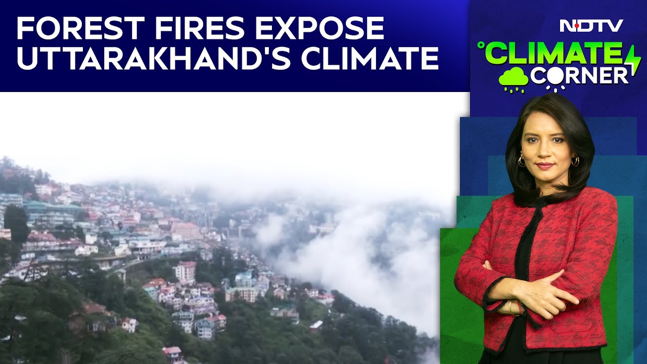
Reporting On Uttarakhand Fires From A Chopper, This Is What I Saw
As we set out for an aerial survey of the Uttarakhand forest fires, within 15 kilometres of the Jolly Grant Airport in Dehradun, barely a few minutes flying time, our single engine helicopter flew right into a white patch. This wasn't a cloud. It was smoke. We were now flying blind, aided only by the helicopter's Global Positioning System.


