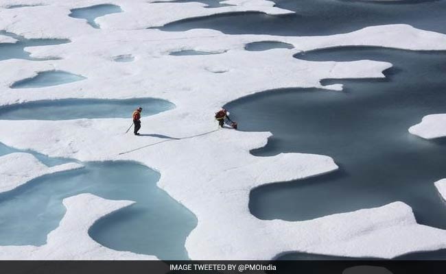
November 2016 is the seventh month this year to have hit record low extent (File)
Last month saw the lowest polar sea ice extent for November - the seventh month this year to have hit record low - as the Arctic and Antarctic lost vast swaths of ice due to higher-than-average temperatures, scientists say.
Unusually high air temperatures and a warm ocean have led to a record low Arctic sea ice extent for November, according to scientists from US National Snow and Ice Data Centre (NSIDC) at the University of Colorado Boulder.
In the Southern Hemisphere, Antarctic sea ice extent also hit a record low for the month, caused by moderately warm temperatures and a rapid shift in circumpolar winds.
"It looks like a triple whammy - a warm ocean, a warm atmosphere, and a wind pattern all working against the ice in the Arctic," said Mark Serreze, director NSIDC.
Arctic sea ice extent averaged 9.08 million square kilometres for November, 1.95 million square kilometres below the 1981 to 2010 long-term average for the month.
Although the rate of Arctic ice growth was slightly faster than average, total extent actually decreased for a brief period in the middle of the month.
The decrease in extent measured 50,000 square kilometres and was observed mostly in the Barents Sea, an area of the Arctic Ocean north of Norway, Finland and Eastern Russia.
Scientists said the decrease in extent is unprecedented for November in the satellite record. A less pronounced and brief retreat of 14,000 square kilometres happened in 2013.
November 2016 is the seventh month this year to have hit record low extent in the 38-year satellite monitoring period.
The November extent was 3.2 standard deviations below the long-term average, a larger departure than observed in September 2012 when the Arctic summer minimum extent hit a record low.
Arctic sea ice is still in the early stages of winter freeze-up and is expected to continue expanding until it hits its maximum extent around March next year.
Scientists said unusually high temperatures over the Arctic Ocean, persistent winds from the south and a warm ocean worked together to drive the record low Arctic extent.
Sea surface temperatures in the Barents and Kara Seas remained unusually high, up to four degrees Celsius above average, preventing ice formation.
These high temperatures reflected a pattern of winds from the south, which also helped to push the ice northward and reduce the ice extent.
In the Southern Hemisphere, sea ice surrounding Antarctica declined very quickly early in the month and set a record low.
The average extent for November was 14.54 million square kilometres, 1.81 million square kilometres below the 1981 to 2010 average.
This was more than twice the previous record departure from average set in November 1986 and was 5.7 standard deviations below the long-term average.
Scientists said that higher-than-average temperatures and a rapid shift in Antarctic circumpolar winds appear to have caused the rapid decline in Antarctic sea ice.
(This story has not been edited by NDTV staff and is auto-generated from a syndicated feed.)
Track Latest News Live on NDTV.com and get news updates from India and around the world

